Thilo (@Thilo@die-partei.social)
Deutscher #Städtetag : "Der öffentliche Sektor muss digitaler werden – und zwar schneller ⏱️ als bisher. Hier setzt die #SmartCountry Convention 2025 an und zeigt vom 📆 30. September bis 2. Oktober, wie innovative Lösungen in dem Bereich aussehen können." 👓 https://www.staedtetag.de/veranstaltungen/2025/smart-country-convention
Schirmherr : #Bundesdigitalminister Dr. Karsten Wildberger https://www.heise.de/news/Digitalminister-setzt-sich-ein-Open-Source-Wettbewerb-fuer-bessere-Verwaltung-10629067.html
#SmartCity #Reutlingen #Neuland #Digitalisierung #OpenSource #Verwaltung #Bürokratie
Show Original Post
display (@display@sekretaerbaer.de)
Ein Grund warum OpenSource unter anderem immer eine Nische sein wird, sobald der Nutzer ins Spiel kommt:
Der TO schreibt was fehlt um ein Linux-Phone Marktreif zu machen und die Community schließt vom eigenen Bedarf auf den Markt, oder sagt platt die fehlenden Tools und Funktionen sind eh evil oder Nonsens.
- Niemand braucht eine Bezahlfunktion
- niemand braucht eine. Sprachassistenten
Auf deutsch: Man will unter sich bleiben. Wer erinnert sich an Billy Boy:
«Niemand braucht mehr als 640 Kilobyte Arbeitsspeicher in seinem PC.»
Die Community „produziert“ um eigenen Bedarf zu decken. Nicht für den Markt.
My5Cent!
#Linux #phone #ueberheblichkeit #opensource #foss #dermarktregelt #nerdtum #nerd
Ich hab leider kein Plan wie man Lemmy-Posts föderiert teilt.
Show Original Post
tayarndt (@tayarndt@iosdev.space)
Are you building a product and want more people to actually use it?
If your platform isn’t accessible, whole groups of people can’t use it. That means fewer users and slower growth.
I offer accessibility + beta testing sessions:
•
$25 for 2 weeks
•
$50 per session after
Here’s a sample of my work:
https://www.youtube.com/watch?v=IZl7lVIqDNs
Book a session:
https://calendly.com/tayarndt/usertesting?back=1
#IndieDev #Accessibility #BuildInPublic #WebDev #AppDev #UXDesign #InclusiveDesign #OpenSource
Show Original Post
alevsk (@alevsk@infosec.exchange)
Why do phishing kits like ShadowPhish matter to security analysts? 🛠️⚠️
ShadowPhish isn't just another phishing tool—it integrates multi-platform compatibility (like social media and email) with advanced evasion techniques. Tools like these highlight how threat actors are automating attacks, making it critical for defenders to monitor code repositories.
#CyberSecurity #PhishingDetection
🔗 Project link on #GitHub 👉 https://github.com/CyberSecurityUP/ShadowPhish
#Infosec #Cybersecurity #Software #Technology #News #CTF #Cybersecuritycareer #hacking #redteam #blueteam #purpleteam #tips #opensource #cloudsecurity
— ✨
🔐 P.S. Found this helpful? Tap Follow for more cybersecurity tips and insights! I share weekly content for professionals and people who want to get into cyber. Happy hacking 💻🏴☠️

Show Original Post
horovits (@horovits@fosstodon.org)
I've said many a time: the real power of open source lies with open standards, open specifications, and semantic conventions.
Indeed DocumentDB brings this potential to NoSQL, which will benefit the whole ecosystem.
https://www.infoworld.com/article/4048740/why-documentdb-can-be-a-win-for-mongodb.html
#opensource #documentdb #openstandards #nosql
Show Original Post
jbz (@jbz@indieweb.social)
⚠️ Removing Guix from Debian | LWN
https://lwn.net/SubscriberLink/1035491/d8100135a8ae4246/
#guix #debian #opensource #security
Show Original Post
post (@post@lemmy.world)
Blogging platform Bear is no longer open source, moves to source-available Elastic license
https://lemmy.world/post/35360750
Show Original Post
radwebhosting (@radwebhosting@mastodon.social)
How to Run Self-Hosted Link-in-Bio Tool with #LinkStack on #AlmaLinux #VPS
This article provides a guide for how to run self-hosted Link-in-Bio tool with LinkStack on AlmaLinux VPS.
🛠️ How to Run Self-Hosted Link-in-Bio Tool with LinkStack on AlmaLinux VPS
This guide walks you through installing and running LinkStack, a free and open-source alternative to Linktree, on an ...
Continued 👉 https://blog.radwebhosting.com/how-to-run-self-hosted-link-in-bio-tool-with-linkstack-on-almalinux-vps/?utm_source=ReviveOldPost&utm_medium=social&utm_campaign=ReviveOldPost #selfhosted #python #laravel #composr #selfhosting #letsencrypt #opensource
Show Original Post
ivycyber (@ivycyber@privacysafe.social)
🕵️ Our first #surveillance detection workshop with @JohnKiriakou #IvyCyberAcademy is well underway! #privacy
Live in our own #opensource @bigbluebutton conference room courtesy of @privacysafe
Sign up for upcoming events below 👇
https://ivycyber.com/product/cia-pov-john-kiriakou/

Show Original Post
2025 (@2025@donwatkins.info)
Exploring QGIS: A Powerful Open Source Tool for Mapping Your Walk
Recently a friend asked me if I could help him map his walk about the area where he lives. I use a pedometer to track my steps and in the past I have used several different map walking apps on my phone and smartwatch. I told my friend that I would do some additional research and get back to him. Returning home later in the day and using AI I found about a half dozen mapping applications. QGIS caught my eye because it is open source. I decided to give it a try and install it on my Linux computer. I decided to use the Flatpak installation as it was the easiest on Linux Mint.
$ flatpak install flathub org.qgis.qgisYou will be prompted for the version of QGIS you want to use and the app should appear in your application launcher. QGIS has excellent documentation and can be installed on nearly any of the popular computing platforms including macOS, Windows, Linux, FreeBSD, OpenBSD and even as container images. Be sure to follow their excellent documentation.
Once I launched the application I was presented with an incredibly complex toolset and wanted to dive in. QGIS allows users to create, edit, visualize, analyze, and publish geospatial data. QGIS supports various data formats, including vector, raster, and database formats, and provides tools for creating maps, performing spatial queries, and generating reports. I simply wanted to create trail maps and count steps for my friend and teach him to do the same.
Screen picture by Don Watkins CC by SA 4.0I listened to a podcast which gave me a good overview of the project and some the capabilities of QGIS. I learned that QGIS is open source with a GPL v2 license. I learned that it was initially released in 2002. I’m using version 3.44 “Solothurn.” The podcast mentioned that QGIS is extended with plugins of which there are currently over 1,300. Which ones would I need to map the trails at the retreat center that my friend lived at?
The first plugin I installed was Quick Map Services. This allowed me to download Open Street Map. Now I had some data but how can I use this. More help from my AI App helped me to find MerginMaps. MerginMaps is a plugin that extends QGIS. They have an app for iOS and Android. I could use my mobile phone for data collection. MerginMaps is also open source. MerginMaps mobile is open source too! I needed to install the MerginMaps plugin in QGIS first. Go to ‘Plugins’ on the menu bar at the top and select ‘Manage and Install Plugins.’ Use the ‘Search’ window to search for ‘MerginMaps.’
At the bottom of the window is a button to ‘Install Plugin’. Once the plugin is installed you are ready to install MerginMaps with QGIS. I needed to install MerginMaps on my iPhone. Next step is to create a MerginMaps account. You will need an account to use the plugin.
Screen Picture by Don Watkins CC by SA 4.0Next step is to sign into your MerginMaps account in QGIS. When you installed the MerginMaps plugin to the QGIS software program it altered your menu options slightly. The arrow is pointing to the Mergin Menu options. The second item is the one that looks like a gear is where you sign-in to Mergin. That is the configure button.
Screen picture by Don Watkins CC by SA 4.0Upon clicking on that button you will be prompted to sign-in to MerginMaps.
Screen Picture by Don WatkinsOnce you have signed into MerginMaps you can begin your first project. Next to the gear like ‘Configure’ button is another button with a plus sign on it. Clicking on that brings up a ‘New bsic QGIS project’ option.
Screen picture by Don Watkins CC by SA 4.0After the new project is created you are invited to give the project a name and after it is named the project is immediatley uploaded to the MerginMaps server account and saved locally in a directory location of your choosing.
Screen Picture by Don Watkins CC by SA 4.0After the project is uploaded to the MerginMaps server then it is time to get out your iOS or Android device and sign in to the MerginMaps server and download the project onto your mobile device. Note at the bottom of the application window there is a ‘Projects’ button which when pressed provides a listing of the projects on your device.
Screen picture by Don Watkins CC by SA 4.0I decided to give the application a test run and while my wife and I were on a picnic to nearby Letchworth State Park I marked some data points which you can see in the depiction below.
Once the data points are collected on the device they can be uploaded to the MerginMaps server and then downloaded to the QGIS software on your computer and you can generate maps.
In conclusion, QGIS and MerginMaps offer a powerful combination for mapping walks in the area where my friend lives. Together, they provide a robust solution for mapping trails making it easier for my friend to learn how to do the same. The integration of QGIS with MerginMaps highlights the potential of open-source tools in facilitating geospatial data work, whether for individual use or team-based projects. This synergy between the two platforms is a valuable resource for anyone interested in mapping and spatial analysis.
#geospatial #GIS #MerginMaps #OpenSource #QGIS

Show Original Post
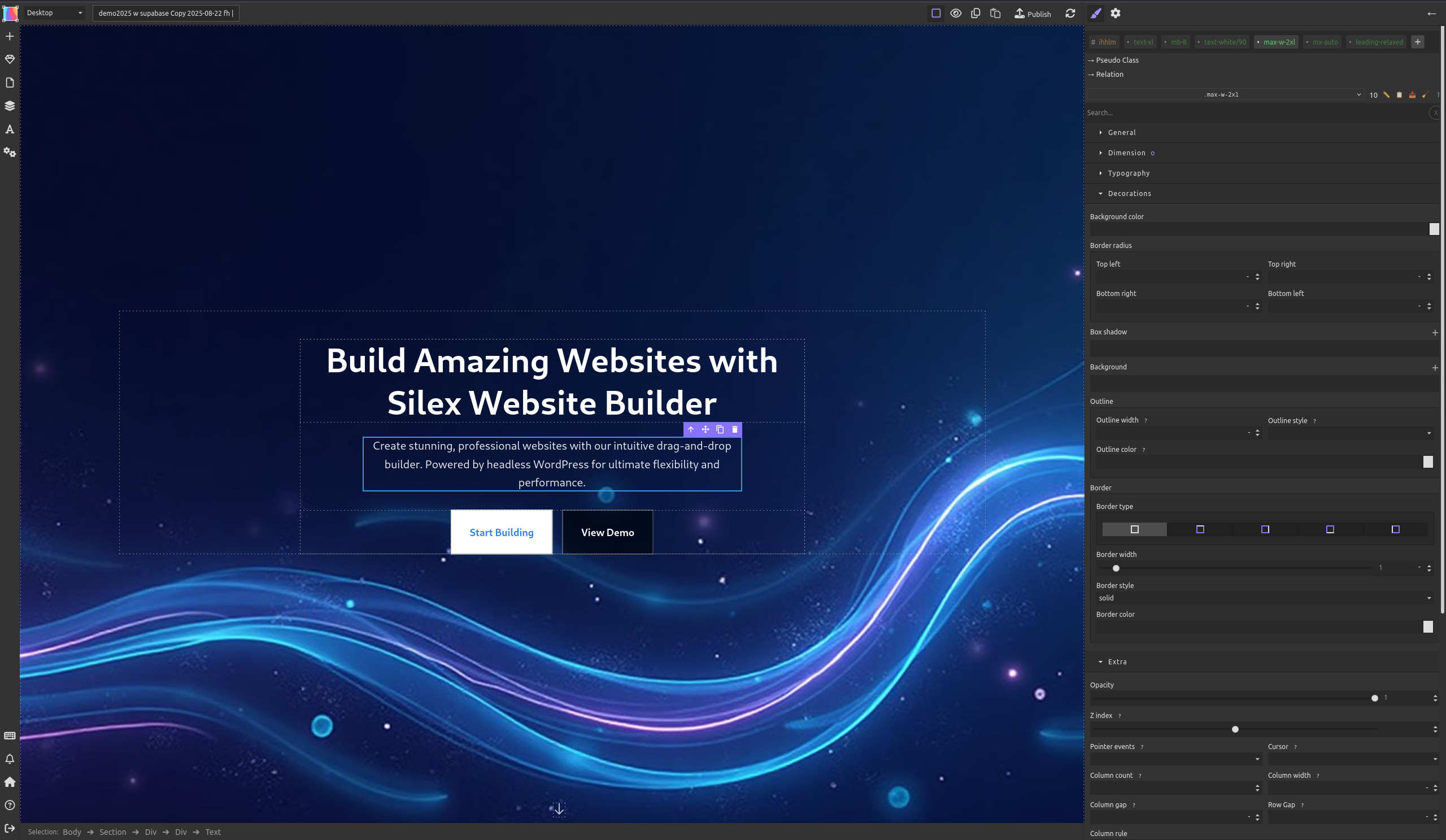
silex (@silex@fosstodon.org)
New canary version of Silex: `v3.3.1-6` is out!
This one includes key bug fixes, improved dev experience, and updated docs to welcome new contributors 🙌
Details: https://github.com/silexlabs/Silex/releases/tag/v3.3.1-6
Try it now: https://canary.silex.me
Feedback welcome as always ❤️
#Silex #opensource #webdev #11ty #nocode
Show Original Post
reddit_tech_vn_bot (@reddit_tech_vn_bot@mastodon.maobui.com)
Chấm dứt sử dụng Grammarly! Một người dùng XDA đã chuyển sang một lựa chọn mã nguồn mở khác và thấy nó tuyệt vời. Có vẻ như có một giải pháp thay thế tuyệt vời cho những người muốn kiểm soát nhiều hơn đối với dữ liệu của họ.
#opensource #manguonmo #grammarly #alternatives #congcu #tools
https://www.reddit.com/r/opensource/comments/1n6qzs3/xda_ive_ditched_grammarly_for_this_opensource/
Show Original Post